Deskripsi
Hi-Target V700S adalah alat survei multifungsi yang menggabungkan teknologi SLAM dan RTK, memungkinkan pengukuran dengan akurasi tinggi di berbagai medan, termasuk lokasi tanpa sinyal GNSS.
Teknologi Laser Reverse Positioning mendukung pemetaan real-time secara presisi tanpa memerlukan titik kontrol. Output koordinat otomatis (BLH & NEZ) mempersingkat proses kerja tanpa perlu kalibrasi ulang.

Dengan fitur pengukuran jarak jauh berbasis foto, area berbahaya atau sulit dijangkau tetap dapat dipetakan secara aman. V700S juga menghasilkan point cloud 3D detail untuk kebutuhan volume tanah dan pemantauan proyek.
Didukung GNSS 1408-channel dan sistem anti-jamming, perangkat ini tetap andal di area dengan interferensi tinggi. Proses data lanjut didukung software desktop untuk analisis dan visualisasi yang efisien.
Jika anda sedang mencari alat ini, silakan hubungi Indosurta Surabaya. Kami jual dengan harga terjangkau dan bergaransi resmi 1 tahun.
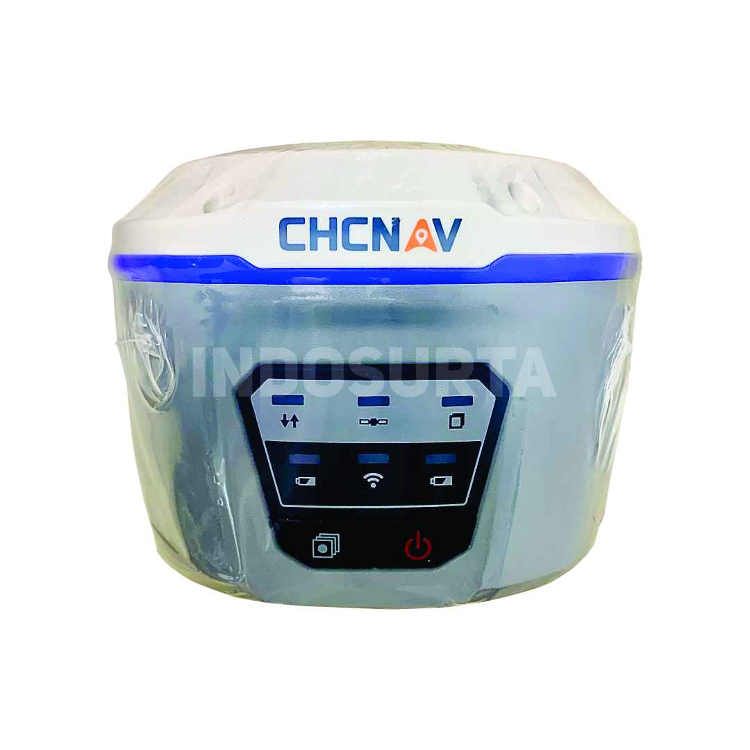
Spesifikasi GPS Geodetic / GNSS Hi-Target V700S SLAM RTK
GNSS Configuration
- Channel: 1408
- GNSS Signal:
- GPS: L1C/A, L1C, L2P(Y), L2C, L5
- BDS: B1I, B2I, B3I, B1C, B2a, B2b
- GLONASS: L1, L2, L3
- GALILEO: E1, E5a, E5b, E6
- QZSS: L1, L2, L5, L6
- NavIC: L5
- SBAS: L1, L2, L5
- PPP: B2b-PPP, E6-HAS
- Output format: ASCII: NMEA-0183, Binary
- Output rate: 1Hz~20Hz
- Static data format: GNS, Rinex
- Real Time Kinematic: RTCM2.X, RTCM3.X
- Network Mode: VRS, FKP, MAC, Support NTRIP protocol
System Configuration
- Operation system: Linux
- Storage: Circulating 512GB ROM
Accuracy and Reliability
- High-Precision Static: H: 2.5 mm + 0.1 ppm RMS, V: 3.5 mm + 0.4 ppm RMS
- Static and Fast Static: H: 2.5 mm + 0.5ppm RMS, V: 5 mm + 0.5ppm RMS
- PPK: H: 8mm + 1ppm RMS, V: 15mm + 1ppm RMS
- PPP: H: 10cm, V: 20cm
- Code Differential GNSS Positioning: H: ±0.25m+1ppm RMS SBAS: 0.5m (H), 0.85m (V), V: ±0.5m+1ppm RMS
- Real Time Kinematic (RTK): H: 8mm+1ppm RMS Initialization time: Typically <10s, V: 15mm+1ppm RMS Initialization reliability: Typically > 99.9%
- Tilt Survey Performance: 8mm+0.3mm/°tilt
- AR Stakeout: Support
- Image measurement: A single photo can acquire multiple point coordinates, with an accuracy of better than 5cm within 15 meters
- Real-time accuracy evaluation: Supports
Camera
- Pixel: 3 Professional HD Cameras
- Function: Support AR stakeout, image measurement, working distance 2~15m
Laser Scanner
- Range: 0.1~ 40m@10%, 0.1~ 70m@80%
- Point Measurement Rate: 200,000 pts/sec
- Laser product classification: Class 1 Eye Safe
- FOV: H: 160°, V: 59°
IMU
- Update rate: 200Hz
Communication
- I/O Interface: USB type C port; SMA antenna port; Nano SIM card slot
- Network: TDD-LTE,FDD-LTE,GSM
- WiFi: IEEE 802.11a/b/g/n/ac/ax,2.4GHz/5GHz,Wifi hotspot
- Bluetooth: Bluetooth 5.2
- Internal UHF Radio:
- Power:0.5W/1W Adjustable Frequence: 410MHz~470MHz
- Protocol: HI-TARGET, TRIMTALK450S, TRIMMARK III, SATEL-3AS, TRANSEOT, etc.
- Channel: 116(16 scalable)
Sensor
- Electronic bubble: Supports
- Tilt Survey: Built-in High-precision IMU Module
Control Panel
- Physical button: Single button
- Display: 2.8 inch, 480×640 pixel touchable screen
- LED lights: Mode, Accuracy, Network
Application
- Advanced function: NFC, WebUI, Firmware upgrade via U-disk
- Intelligence application: Intelligent Voice, Self-check
- Remote service: Message push, online upgrade, remote control
Physical
- Power:
- Lithium battery, portable charger
- RTK rover(UHF/Cellular): up to 10 hours, SLAM mode: up to 5 hours
- USB 45W fast charging, fully charged in 2 hours
- Size: fully charged in 2 hours
- Weight: 68kg
- Power:
Environments
- Water/dustproof: IP64
- Humidity: 100% non-condensing
- Operation temperature: -20°C~+55°C
- Storage temperature: -40°C~+70°C
Kelengkapan
- 1x V700S GNSS Receiver
- 1x Battery
- 1x Qpad X9 Tablet
- 1x Radio Receiving Antenna
- 1x Survey Pole Hi-Target (new logo) 2.2m
- 1x Power adapter
- 2x USB data cable
- 1x Double-socket tablet mount
- 1x Tablet bracket
- 1x Tablet mount
- 1x Fixing screw
- 1x Control Point Benchmark
- 1x Survey Benchmark
- 1x Rover plastic case
- 1x Certificate of quality
- 1x Warranty card
- 1x Plastic case PVC label (Hi-Target)
- 1x Envelope
- 1x Hi-Target software
- 1x Hi-LiDar (optional)
Layanan purna jual
- Garansi servis 1 tahun
- Gratis training alat
- Gratis pengiriman dan juga COD khusus Kota Surabaya dsk
Alasan mengapa memilih Indosurta?
- Lebih dari 10 Tahun berpengalaman di dunia survey dan pemetaan.
- Setiap pembelian alat di Indosurta akan mendapatkan gratis kalibrasi selama 1 tahun, dan gratis pelatihan alat.
- Produk berkualitas dan juga bergaransi resmi
Tentu saja kami juga menerima pengiriman keluar Surabaya
Lalu kami juga tersebar luas di kota – kota seluruh Indonesia, seperti :
- Balikpapan
- Makassar
- Batam
- Surabaya
- Palembang
- Medan
- Manado
- Cikarang
- Semarang
- Banjarmasin
- Kendari
- Jakarta
- Samarinda